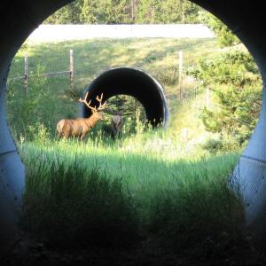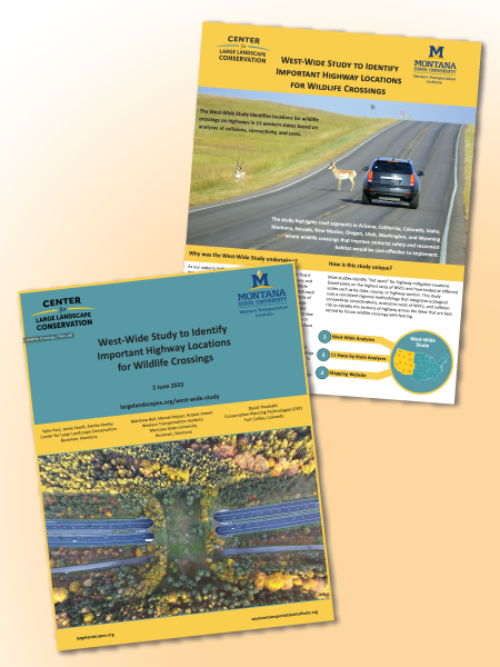
Increasingly busy highways and fragmented habitats have boosted the number of wildlife-vehicle collisions (WVCs) in the U.S. each year. Dangerous to both animals and humans, these collisions kill more than one million large mammals and hundreds of humans per year and cause tens of thousands of injuries. To begin addressing these collisions, the nonprofit Center for Large Landscape Conservation, Western Transportation Institute, and Dr. David Theobald with Conservation Planning Technologies have published the West-Wide Study to Identify Important Highway Locations for Wildlife Crossings. It pinpoints the highest rated road segments in 11 western states to consider for future wildlife crossings, which would offset collision costs, address conservation needs, and provide for human safety.
The study is also innovative, integrating ecological, economic, and safety considerations rather than choosing locations based on WVC hotspots alone when considering highways across the West. It is also one of the first studies to look at all western states with a consistent, regional approach – allowing for state-to-state comparison. The study is designed to complement and supplement state-wide and local analyses that use finer-scale data, which helps federal and state agencies and other stakeholders focus on areas where wildlife crossings can be deployed.
According to the study’s findings, WVCs with species like deer cost a minimum of $1.6 billion per year in the western U.S. It also identifies potential wildlife crossing structure locations that could not only mitigate impacts to human and animal safety but entirely offset the cost of WVCs by driving down crash rates and their cost to society.
The study comes at a time of increased interest, momentum, and policies for building wildlife crossings and implementing other mitigation measures in the U.S., including $350 million in federal funding from the Wildlife Crossings Pilot Program, part of the Bipartisan Infrastructure Law.
The three main components of the study are available online and include the full report containing both the West-wide analysis and 11 individual state analyses, plus a mapping website where users can examine the results at a variety of scales, select different map layers of interest, and download the data.

